
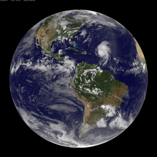
 visualization showing clouds using the Goddard Earth Observing System Model, Verison 5 (GEOS-5) at 7 km resolution for the period from 17 August through 21 August 2009 (click on image for 3 MB MPEG-4 video). This visualization was designed to closely match a GOES satellite image for comparison purposes.
Mesmerizing.

No comments:
Post a Comment